

Participants in a young scientists’ workshop looked at the world’s cities from space and discussed how GIS manages traffic jams and morning coffee
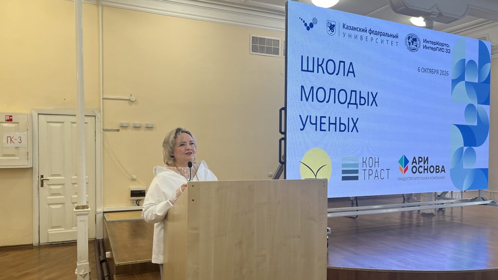
The workshop was held at Kazan Federal University’s Institute of Geology and Petroleum Technologies as part of the 32nd International Scientific Conference InterCarto. InterGIS. Geoinformation Support for the Sustainable Development of Socio-Natural Systems.
Welcoming the participants, Elena Pudovik, Chair of the Department of Geography and Cartography, assured them that many interesting presentations awaited them. She thanked the department’s partner organizations and the Russian Geographical Society for their support.
Ildus Chukmarov, Director of the Institute’s Center for Continuing Education, Quality Management and Marketing, reminded students that continuous learning is essential to success.
“Our center offers extensive opportunities for development and for building a successful path in both your professional and personal life. We offer a wide range of continuing education and professional development courses. We can also help you build a scientific career, which requires a good command of English, particularly technical translation skills. Our intensive Professional English course for students starts in just one week. Upon completion, participants will receive a diploma,” he said.
Chukmarov then outlined the related professions that geographers can qualify for by studying at the center.
The first speakers were representatives of Kartetika: Yulia Fedorova, who presented Working in GIS in 2023–2026: In-Demand Skills and Future Prospects, and German Titov, whose presentation, Web Mapping and Machine Learning, focused on project work.
Irina Malganova, Associate Professor in the Institute’s Department of Geography and Cartography, explained how satellite imagery helps researchers study cities in her presentation, Cities of the World: A View from Space.
“Using satellite imagery, I introduced participants to the spatial organization of cities and different types of urban layouts, showing what planned and unplanned metropolitan areas look like from space,” she explained.
At the end of her presentation, Malganova held a quiz in which participants had to identify cities from photographs taken from space by cosmonaut Anton Shkaplerov. The photographs were produced for a project carried out jointly by the Department of Geography and Cartography and the Institute of Geography of the Russian Academy of Sciences.
Urban Easter Eggs: How GIS Algorithms Manage Your Scooter, Traffic Jams and Morning Coffee was the title of a presentation by Valeria Shaimardanova, Associate Professor in the Department of Geography and Cartography. She described the complex technologies and mathematical models behind familiar navigation prompts. Shaimardanova explained that traffic forecasts rely not only on camera footage but also on information transmitted by millions of mobile devices, enabling more accurate and timely predictions. She also explored the magic of dynamic route recalculation on the move, explained the logic behind placing scooters near public transport stops, and demonstrated how geographic information models help identify the best locations for new coffee shops. Shaimardanova brought these examples together under the concept of a ‘digital twin of a city,’ noting that cartographers and geo-informatics specialists play a key role in creating such systems.
Olga Suvorova, First Deputy Director General of the Bureau of Technical Inventory and Cadastral Works of the Republic of Tatarstan, introduced the work of her organisation, which will celebrate its centenary in 2027, and invited KFU students to join its staff.
Iskander Meldebekov, Head of the Industrial Safety Expert and Consulting Center, spoke about how cartography, geographic information systems and spatial data are used in real-world government projects. Drawing on specific examples, he demonstrated the use of geospatial data in cadastral valuation and real estate management. Particular attention was paid to the development of government GIS platforms, which play a key role in the digitalization of public services.
“The workshop addressed pertinent topics. Several presentations focused on territorial development. Geographic information systems and cartography were also central themes,” commented Elena Ushakova, a third-year geography student.
She noted that she enjoyed many of the presentations, but found Malganova’s engaging talk particularly memorable.
“The speakers included representatives of our department and partner organisations. Among other things, they discussed where geography, cartography and geo-informatics specialists are in demand today, and what knowledge they need to succeed,” said Alexander Antipov, Assistant Lecturer in the Department of Geography and Cartography and one of the organizers of the conference.