

KFU geophysicists create new map of underground pipelines in one of Tatarstan’s districts
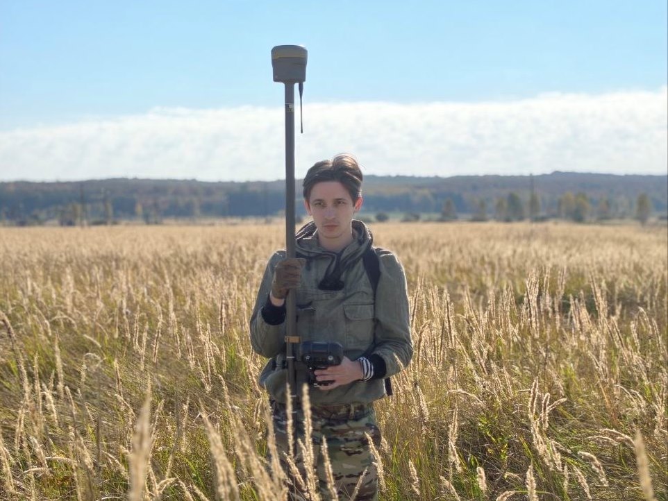
Staff members of the Department of Geophysics and Geo-information Technologies at Kazan Federal University have created a map of all underground utilities within a survey area in the Almetyevsk District of the Republic of Tatarstan as part of a project to locate underground pipelines.
“We are conducting geophysical surveys commissioned by Tatneft,” said project leader Bulat Nasyrtdinov, Associate Professor in the Department of Geophysics and Geo-information Technologies at the Institute of Geology and Petroleum Technologies (IGPT). “Our task is to identify and accurately map all existing underground utilities: operational and decommissioned oil pipelines, gas pipelines, water mains, and other utility networks.”
The geophysicist explained that, because intensive oil production in Tatarstan began in the 1950s, certain areas in its oil-producing districts contain a very dense network of intersecting underground pipelines serving different purposes. Most lie at depths of 2 to 8 metres.
“Sometimes, within a 10-by-10-metre area, we find as many as fifteen pipes serving different purposes, laid at different depths and running in different directions. This density of utilities is characteristic only of long-established oil-producing regions,” the associate professor said.
Installing new utilities presents challenges when it comes to locating older ones.
“Without an accurate map showing the locations of the various pipelines, older pipes are often damaged during excavation. This leads to accidents, environmental impacts, and disruptions to gas and water supplies,” Nasyrtdinov said.
He noted that some utilities had been laid along routes that differ from those shown on the plans because of the local terrain. The underground infrastructure includes both very old metal pipes—some installed as far back as the 1960s — and modern pipes made from specialised plastics. To address this, IGPT researchers developed an integrated approach to pipeline detection that combines several geophysical survey methods.
“Magnetic surveying is quite sensitive to metal pipes and helps us locate older utilities. Modern pipes are more difficult to detect. For these, we use ground-penetrating radar surveys, which can identify underground objects, including plastic pipes. Electrical resistivity surveying, including electrical resistivity tomography, allows us to detect changes in the electrical resistivity of the ground, helping us locate pipes of any type. By combining several methods, we can accurately determine where particular pipelines are located,” he explained.
The surveys resulted in a georeferenced digital map of the utilities.
“We mapped a fairly large area measuring 500 by 500 metres. In addition, we carried out detailed surveys of two 50-by-50-metre sites, where we determined pipe locations to within a few centimetres. In the future, we plan to create 3D models of selected zones using ground-penetrating radar and electrical resistivity tomography,” explained the interviewee.
The digital map will be expanded as additional areas are surveyed.
“We are developing an integrated technology for locating underground pipelines across different areas. It will include recommendations for safely installing new utilities without damaging existing ones,” he summarised.
Nasyrtdinov emphasised that the distinctive feature of the technology under development is its ability to locate pipelines and refine their mapped positions in environments heavily complicated by human-made infrastructure.