

KFU presenting agricultural land monitoring in Turkmenistan
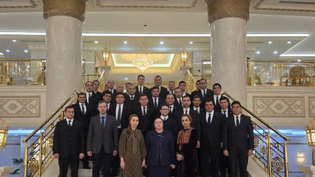
Today marks the final day of the official mission of the Food and Agriculture Organization of the United Nations (FAO) in Turkmenistan. The mission involved Associate Professor Maksim Ivanov of the Department of Landscape Ecology, and Artur Gafurov, Leadi Research at the Balance S Laboratory of the same institute, who participated as international experts in remote sensing.
The event is being carried out as part of the Technical Cooperation Programme, “Assistance in strengthening national monitoring of agricultural crops using remote sensing technology.”
The main goal of the programme is to develop a methodology and technical solutions for establishing a national system for observing agricultural crops using satellite data, including machine learning.
“The use of multispectral satellite imagery, UAV surveying, and machine-learning algorithms for their analysis, along with results implemented in the form of a single digital platform, makes it possible to promptly obtain information on crop patterns and condition and to quickly identify emerging problems (flooding, drying out, crop diseases, etc.). This will enable timely management decisions to minimize damage and ensure yields as a component of national food security,” Maksim Ivanov explains.
At the meeting, a working group comprising the programme’s international coordinator, experts from Kazan University, FAO national consultants, and staff of the Ministry of Agriculture and the State Land Resources Service of Turkmenistan discussed the methodological, technical, legal, and institutional aspects of the system being developed.
A one-day seminar on the use of remote sensing data for monitoring agricultural lands was held for employees of the Ministry of Agriculture, regional land cadastre offices, the Research Institute of Grain Farming, the Research Institute of Agriculture, the Academy of Sciences of Turkmenistan, and S.A.Niyazov Turkmen Agricultural University.
“In addition, lectures were delivered at Turkmen Agricultural University on topics such as ‘Open satellite data and their application in agriculture and precision farming,’ ‘Machine-learning methods for analyzing Earth remote sensing data,’ and others,” the associate professor reports.
The mission also included discussions with staff of relevant university departments on the possibility and prospects of integrating GIS- and remote-sensing-related disciplines into the curricula of the country’s higher education institutions.
Maksim Ivanov noted that this is only the very beginning of the project. It is currently at the stage of developing the methodology, the technical specifications, and defining the roles, authorities, and interaction of the various agencies and organizations involved.